By the Lake Topoxte
November 28
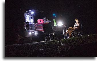
It was not a quiet time for us by the lake. In the middle of the night, Howler Monkey sitting comfortably on a branch just above us was howling for a good hour. Other howlers were answering from a distance. Scary noise woke everyone up. We were at the center of the monkeys’ conversation, or rather their dispute. These monkeys do not defend their territories, but when they meet, each group aggressively tries to evict the other.
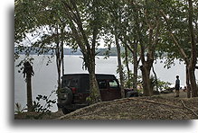
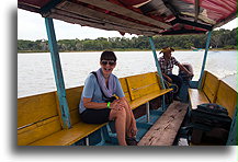
First thing in the morning, we hired a boat to take us to Topoxte Island on the Guatemalan Yaxhá Lake. There are remains of many structures on the island, the largest of which belongs to the ceremonial center of the ancient city. Construction activities lasted here until the late Postclassic period, probably the mid-15th century. This suggests a population influx after the collapsed of the cities in the end of the Maya Classic period.
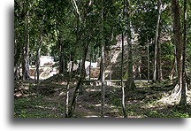
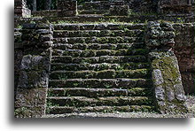
The stepped pyramid known as Building C is an example of the Postclassic architecture. The pyramid has a steep stairway ascending from the plaza in the ceremonial complex. It had temple building on top and associated was with human sacrifice. The architectural style similar is to that of Mayapan, suggesting strong ties to this important Postclassic city in the northern Yucatán Peninsula.
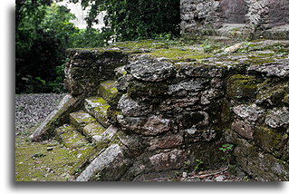
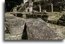
There are number of burial sites across the Topoxte Island. They date from different time periods. Some of the graves belong to children, but many have been identified as the remains of people between the ages 17 and 25, rarely older.
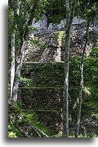
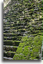
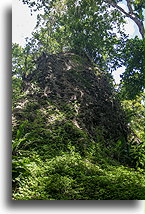
After returning from Topoxte Island we drove to nearby Yaxha, a Maya city that has a long history. It was inhabited between 600 BC and AD 900. In between AD 250–600, it had strong ties to the distant Teotihuacan near modern today Mexico City. Today's ruins of Yaxha are the remains of over 500 structures

Yaxha was densely populated, more populous than most other Maya cities. Ten main communication routes have been identified in the city. Some roads had a thick paved surface. This made it possible to transport on rollers heavy materials such as stelae or altars from the quarry to their destinations.
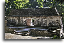
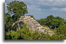
The groups of buildings we call observatories today are not oriented to the astronomical north. Their main task was to observe the movement of the sun. The location of the temples associated is with the position of the sun during the summer and winter solstices.
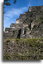
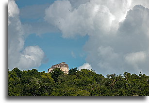
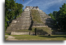
The North Acropolis is the oldest in Yaxha, all the buildings contain older structures inside. The arrangement of buildings represents sacred aspects of the Maya universe where seven carried the important meaning. Maya recognized seven directions: east, north, west, south, sky, underworld, and the center. The north side of the acropolis with a pyramid organized in seven terraces represents the sky. Lake Topoxte on the south is the domain of darkness and represents the underworld.
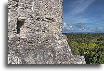
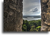
From Yaxha, we headed towards Tikal. It is perhaps the largest tourist center in Guatemala. Tickets are sold several kilometers before Tikal. Fortunately, we knew that permit to drive on the road to Uaxactun, located 25 km beyond Tikal is needed in advance. Traveling slowly the last section of the gravel road, we reached Uaxactun at dusk. We set up our camp for the night right next to the ruins.
