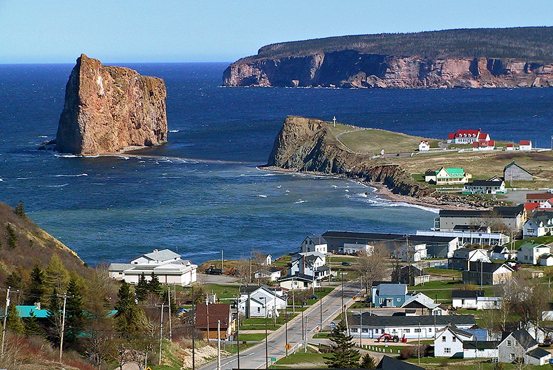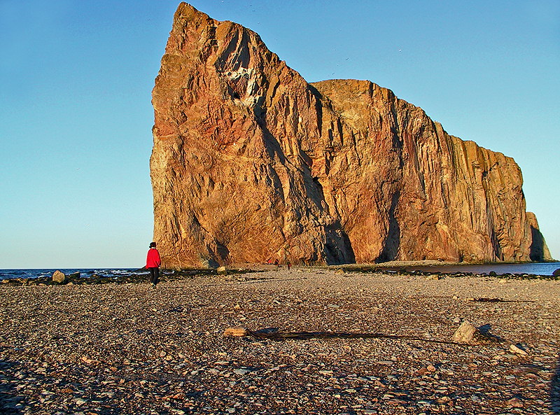
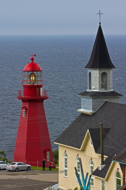
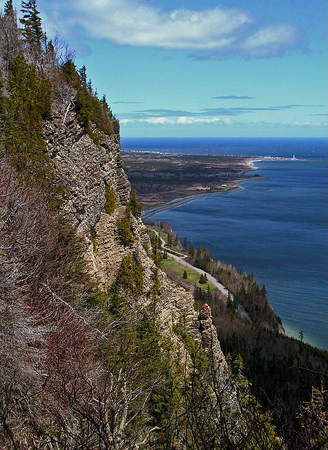


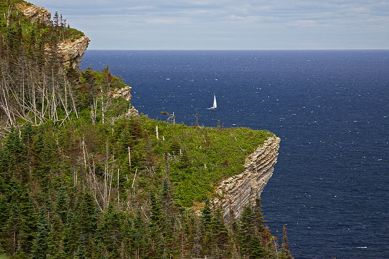
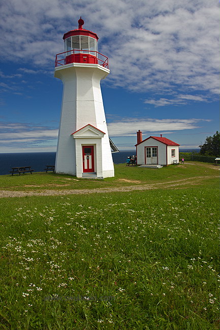
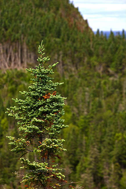
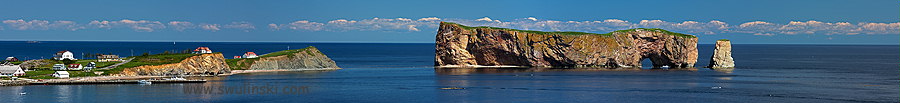
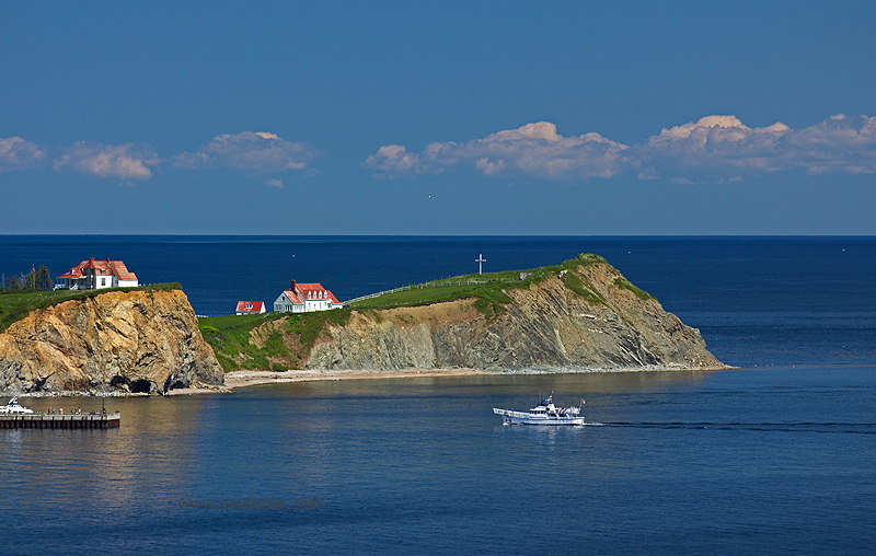
Gaspé peninsula is surrounded by waters of the St. Lawrence River and the Gulf of St. Lawrence. This part of province of Quebéc in Canada features magnificent coastal landscape. Cape Gaspé is a place where Monts Chic-Chocs (part of the Appalachian Mountains stretching 2400 km/ 1500 miles across Eastern North America) reach its limit plunging into the sea. The peninsula is home of Forillon National Park. With forested mountains and cliff-lined shores, this park is realy worth to visit. However, the most famous of all is Percé Rock. This natural wonder impresses everyone and attracts to walk at low tide.
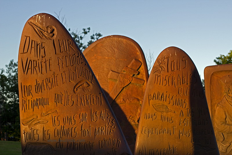
The word Gaspé comes form Gaspeg in the language of Micmacs (Mi'kmaq) meaning "the place where the land ends". Micmac Indians known of their fishing skills inhabited the peninsula when the first European, Franchman Jacques Cartier arrived in 1534.
 travel tip:
Tide tables.
You can walk to Percé Rock only at low tide. Check the tide tables before your trip to be sure that you do not miss this attraction.
travel tip:
Tide tables.
You can walk to Percé Rock only at low tide. Check the tide tables before your trip to be sure that you do not miss this attraction.